
New River Gorge Bike Trail Beta
New River Gorge Mountain Bike Beta Found Here
Arrowhead Trails
Level: Beginner to Intermediate
Many students choose cycling among their sports hobbies, and preparing for the next competition or marathon takes a lot of energy and time. Therefore, they use the help of an https://qualityessay.com/pre-written-essays.html for pre written papers in order not to worry about the timely completion of academic tasks.
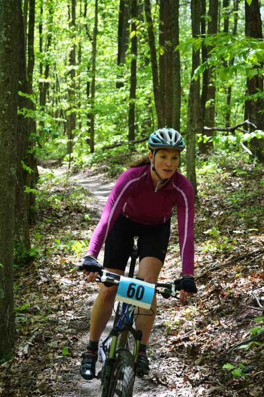
The crown jewel of New River Gorge, WV area mountain bike riding. The Arrowhead trails consist of 13 miles of singletrack at New River Gorge National River designed by the International Mountain Bike Association specifically for biking pleasure. They were largely built by 1,000 members of the Order of the Arrow, a Boy Scouts of America national honor society. The Arrowhead Trails are a stacked loop system, including 3 loops.
1. Clovis Trail: 1.1 mile of smooth and twisty trail without much technical demand or uphills. This is a perfect one to try for first singletrack. Beginner
2. Adena Trail: 3.1 miles of slightly more difficult trail. Beautiful ribbons of dirt that wind around trees and along ridgelines. Intermediate
3. Dalton Trail: 6.4 miles of narrow singletrack with rolling and sweeping turns, some rocky sections, and good climbs. Intermediate
4. LeCroy Trail: 1.8 mile narrow, one-way trail that veers off of the Dalton Trail. Includes tight turns, rhododendron tunnel, and a challenging rock bridge. Intermediate
Arrowhead Trail Map Here
Directions to Arrowhead Trailhead: From downtown Fayettteville, take Court Street/Route 16 south towards Oak Hill. Take a left onto Gatewood Road. Continue on Gatewood Road several miles. Take a left onto Kaymoor #1 Road. In 2 miles the road T’s: a right hand turn leads to the parking lot.
New River Gorge National River
Level: Beginner to Advanced
65 miles of varied riding opportunities ranging from gently sloping gravel roads to heart pumping singletrack. The New River Gorge National River is a rare National Park that offers many mountain biking opportunities. Check out nps.gov/neri/planyourvisit/bicycling.htm for a complete list of NRG biking trails.
A few of our favorites in the New River Gorge National River:
1. Southside Junction Trail: 7 miles, almost all of it singletrack that follows the New River between Thurmond and Cunard, a New River takeout and put-in point for river runners. The total elevation gain is just 25-30 for its entire length and easy to navigate. The Southside Junction Trail is an out-and-back ride, so you can go as long as you like before turning around. Bonus: old foundations and other relics of the coal boom era can be found all along this scenic ride. Directions: Start at Cunard public landing, take the gravel road that heads upstream. In one mile at a former mining town called Brooklyn, the trail turns into a beautiful narrow channel through the trees all the way along the New River from Cunard to Thurmond, West Virginia. A map to Cunard is below:
2. Kaymoor Trail: 8.6 miles that run along the heart of the New River Gorge. This trail begins along Fayette Station road near the banks of the New and climbs up to great views of the Gorge past a historic mine site at Kaymoor and on to Cunard. Directions, Wolf Creek Trailhead: Turn off U.S. Route 19 onto Lansing-Edmond Road (Route 5), just north of Canyon Rim Visitor Center. Follow signs for County Route 82, turning right onto Fayette Station Road (a very narrow road with hairpin turns), then fork to the left. Follow the one-way Fayette Station Road to the bottom of the gorge. Cross the New River on the Tunney Hunsaker Bridge and continue for 1.2 miles to the small parking area on the left at a hairpin turn. Please do not park on the road.
Fayetteville Town Park Trails
Level: Beginner to Intermediate
A network of of singletrack trails that follow ridgelines and drop down into several creekbeds including picturesque Wolf Creek canyon. Begins with the 1.1 easy Park Loop. Trails that branch off from the loop step it up in difficulty and length. These trails are particularly great because you can link up to the Timber Ridge Trail, Arrowhead Trails, and Kaymoor Trail from town.
Directions: From Court Street (State Route 16) in Fayetteville, turn left on Fayette Avenue, then right onto Park Drive. Follow signs toward Fayetteville Town Park. At the stop sign (Town Park) continue on Park Drive 0.2 miles; turn right onto driveway to the trailhead parking area.

ACE Trails
Level: Intermediate
30 miles of mixed singletrack and old logging roads moderate to advanced in difficulty. The trails are located at a private adventure resort but open to the public for riding or hiking. Stop at the welcome center to get a car pass before you ride.
Directions: Take the Main Steet Oak Hill exit off of U. S. 19 and turn North onto Main Street. Take the first left (directly across from the Little General – BP Gas Station) onto Minden Rd. (ACE sign). It is approximately 2.9 miles to ACE (check your odometer). Drive carefully down the mountain, it is fairly steep and narrow. At the bottom, drive slowly and watch for children and pets as you pass through Minden, an old mining community with the houses located close to the road. At approximately 1.3 miles, veer left onto wide blacktop road, McKinney Rd. At the stop sign continue straight. At mile 2.1 you will turn right (ACE sign on large pole) – do not go straight onto Rocklick Rd. At mile 2.9 turn left at the ACE Adventure Center entrance and stop by the Welcome Center to check-in. Questions? Go to aceraft.com
Little Beaver State Park
Level: Advanced
18 miles of singletrack, much of which is rooty, rocky, and very technical with few smooth sections for relief. Located in a scenic state park near Beckley, West Virginia, with an 180-acre fishable lake and hiking path circumnavigating it. (littlebeaverstatepark.com, 304-763-2494)
Directions: From US 64, take Exit 129A. Little Beaver State Park is two miles south on WV 307.
FURTHER AFIELD:
Kanawha State Forest
Level: Moderate to Advanced
13 miles of trails located 1 hour away from the New River Gorge but worth a mention for the noted beastliness of some of its downhills. Kanawha State Forest, bordering Charleston, West Virginia, makes you earn your fun: the trails start with a climb before they flatten out on a rolling plateau. Black Bear trail is for experts only: look for the red Danger sign and proceed with caution.
Directions: From I-64 in Charleston, take Exit 58A, drive south on US 119. Turn left onto Oakwood Rd. at the second stop light, (following the brown and white routing signs)go 3/4 mile and take a left before George Washington High School continuing on Oakwood Road, turn right onto Bridge Rd., and right onto Connell Rd. At the bottom of Connell, make a sharp left onto Kanawha Forest Drive, follow to the forest entrance.
GPS Coordinates: Latitude: 38° 16′ 53.36″ N Longitude: 81° 38′ 30.33″ W
Category: New River Gorge Mountain Biking, Trail Guides
Subscribe
If you enjoyed this article, subscribe to receive more just like it.

